Where Is Vice City International Airport in GTA 6?
← Leonida Hub By Alex · Last updated:

| Status | Confirmed |
|---|
Vice City International Airport (VCIA) is southwest of downtown Vice City, on the western side of Vice-Dale County. Open the game map and look east of Three Toe Lake. Two long runways form a wedge between the lake and the city. Zoom in and the letters VCIA appear over the terminal complex.
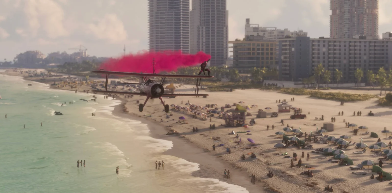
Which highway exit goes to the airport?
On the motorway shown in Trailer 2, look for 35 North and VCI Airport / Ambrosia above the left-hand exit. A plane symbol sits beside the airport name. The middle sign points to Downtown, while the right-hand exit leads to Southside and Peacock Bay. The sign uses VCI Airport; the map shortens the full name to VCIA.

Where to set the waypoint for the terminal
For the passenger entrance, put your waypoint on the road loop on the east, city-facing side of the terminal buildings. On the game map, Salton is northeast of the airport and Three Toe Lake is just beyond its western boundary. A pin in the middle of either long grey strip takes you toward a runway. PC Gamer’s in-game airport map
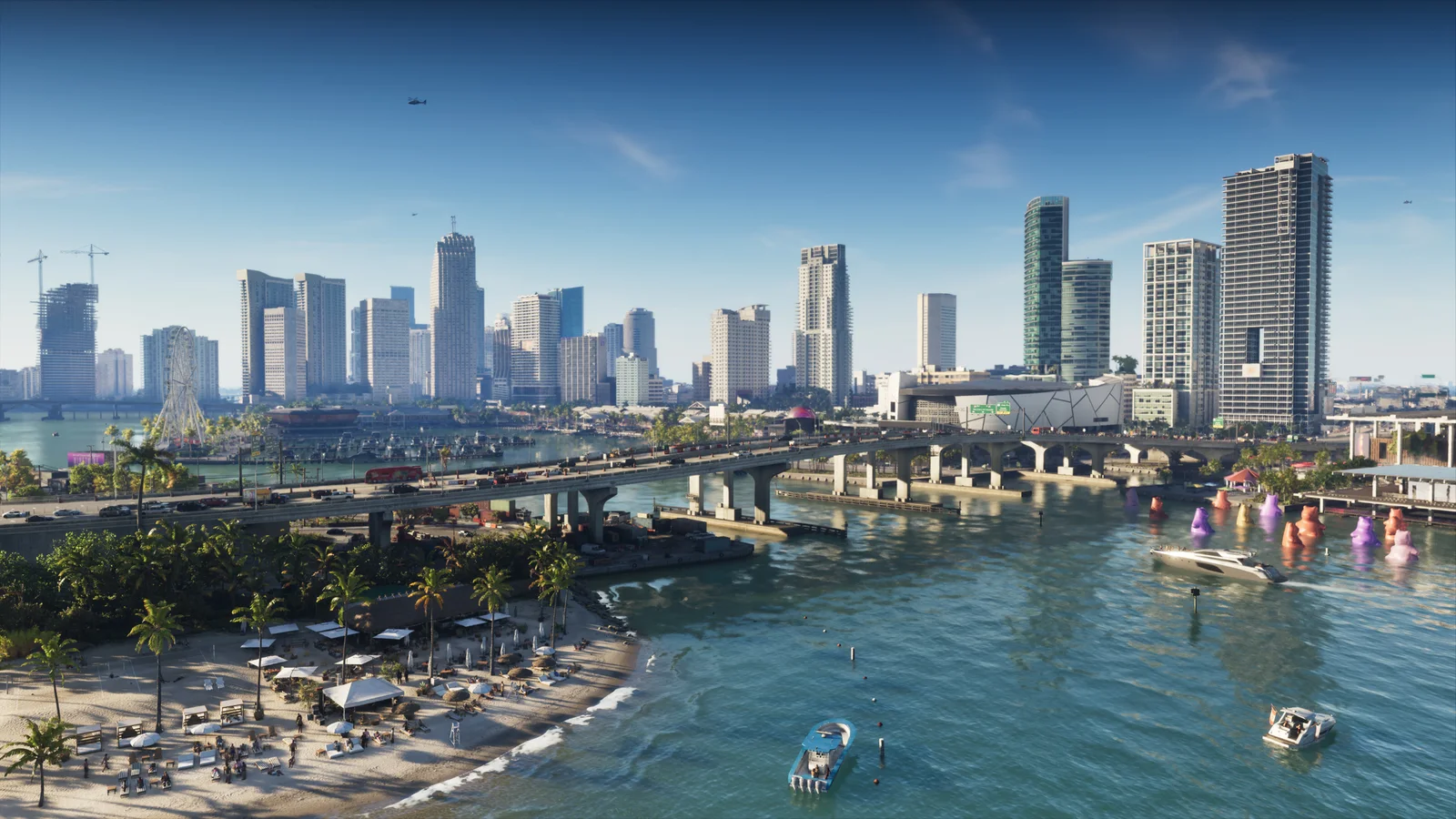
Inside the complex, the terminal gates face the parked passenger jets. PC Gamer also found cash machines in the central terminal area. If you came looking for an aircraft to fly, our plane guide covers the separate pickups at Boundary Road and Southwind.
Sources: Rockstar’s Trailer 2 and press gallery, and PC Gamer’s visit to VCIA in the game.
By Alex · Last updated: